Rizal-Laguna Boundary(Marcos Hwy) — photo spot in GCX5+VMW, R-6, Tanay, Rizal, Philippines
Rizal-Laguna Boundary(Marcos Hwy)
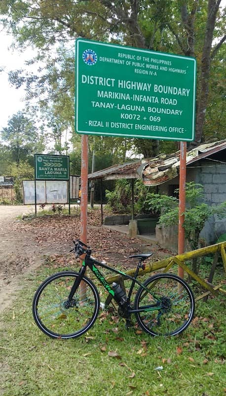
A roadside ridge on Marcos Highway marking the Rizal–Laguna boundary with sweeping valley and mountain vistas—good for sunrise/sunset panoramas, cloudscapes after rain, and long-exposures of winding traffic. Easily reached by car or motorbike; use pullouts for shots. Best at golden hour or post-storm for dramatic skies. Weekdays and early mornings have less traffic. Bring insect repellent; no formal entry or parking but limited safe pullouts—stay off highway shoulder and respect locals.
Rizal-Laguna Boundary(Marcos Hwy)
A roadside ridge on Marcos Highway marking the Rizal–Laguna boundary with sweeping valley and mountain vistas—good for sunrise/sunset panoramas, cloudscapes after rain, and long-exposures of winding traffic. Easily reached by car or motorbike; use pullouts for shots. Best at golden hour or post-storm for dramatic skies. Weekdays and early mornings have less traffic. Bring insect repellent; no formal entry or parking but limited safe pullouts—stay off highway shoulder and respect locals.