Baynes Peak — photo spot in Baynes Peak, Capital Regional District, BC V8K 2A6, Canada

B
Baynes Peak
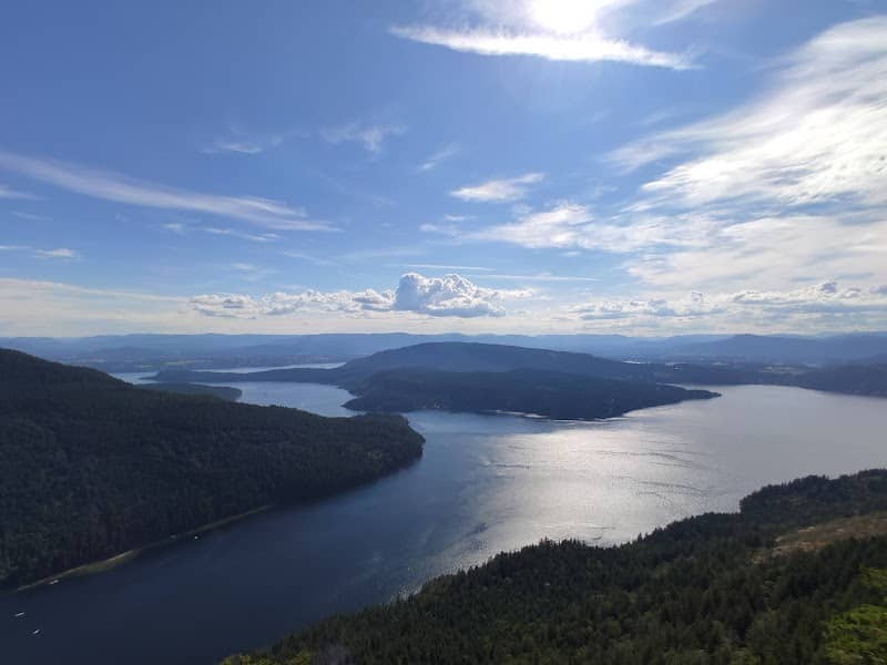
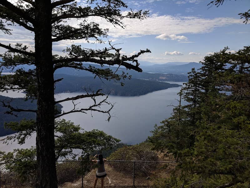
Baynes Peak offers panoramic views over the Sooke Basin, the Strait of Juan de Fuca and surrounding forested ridges — ideal for wide landscape and coastal compositions. A moderately steep hike from nearby trailheads (limited roadside parking) leads to exposed ridge lines; visit at sunrise or sunset for dramatic light and cloud layers. Trails can be muddy/icy in shoulder seasons—bring boots and check weather. Respect that this is on southern Vancouver Island’s Indigenous territories and pack out
B
Baynes Peak
Baynes Peak offers panoramic views over the Sooke Basin, the Strait of Juan de Fuca and surrounding forested ridges — ideal for wide landscape and coastal compositions. A moderately steep hike from nearby trailheads (limited roadside parking) leads to exposed ridge lines; visit at sunrise or sunset for dramatic light and cloud layers. Trails can be muddy/icy in shoulder seasons—bring boots and check weather. Respect that this is on southern Vancouver Island’s Indigenous territories and pack out