Tijeras Creek Trail — photo spot in Antonio Pkwy, Rancho Santa Margarita, CA 92688, USA

K
Tijeras Creek Trail
Kasey Bodway
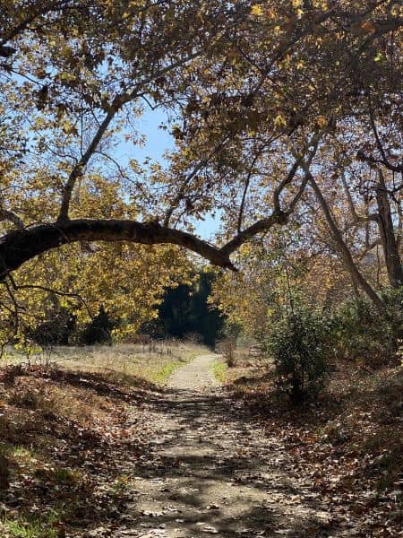
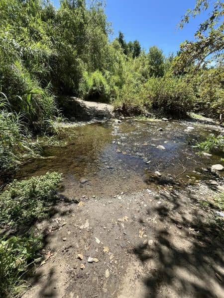
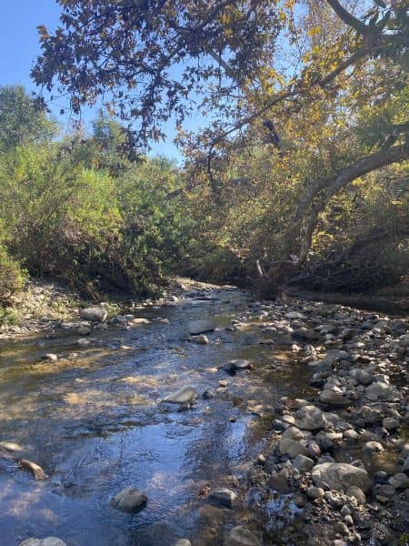
Tijeras Creek Trail is a moderate loop rising to ridgeline viewpoints with panoramic views of Coto de Caza and Saddleback Mountain—ideal for landscape and nature photography. Access from Antonio Pkwy (park on Bienvenidos) with no permits; expect an uphill climb and native chaparral foregrounds. Best at golden hour (sunrise for east-facing vistas; late afternoon toward Saddleback). Weekday mornings are quieter. Bring water, sun protection, and sturdy shoes; trail links to Chiquita Ridge for more/
K
Tijeras Creek Trail
Kasey Bodway
Tijeras Creek Trail is a moderate loop rising to ridgeline viewpoints with panoramic views of Coto de Caza and Saddleback Mountain—ideal for landscape and nature photography. Access from Antonio Pkwy (park on Bienvenidos) with no permits; expect an uphill climb and native chaparral foregrounds. Best at golden hour (sunrise for east-facing vistas; late afternoon toward Saddleback). Weekday mornings are quieter. Bring water, sun protection, and sturdy shoes; trail links to Chiquita Ridge for more/