Aviation Navigation Arrow — photo spot in 5300 W, Hurricane, UT 84737, USA

A
Aviation Navigation Arrow
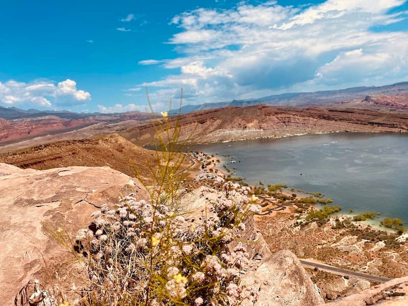
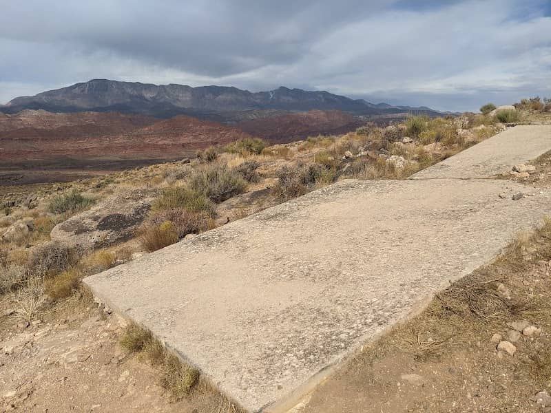
A large historic concrete aviation navigation arrow set into the red desert near Hurricane, UT—great for minimalist compositions, leading lines and showing scale against the wide sky. Best at sunrise or sunset for long shadows and warm tones; nights offer starfields in clear dark-sky conditions. Roadside access with limited pullout parking; suitable for short visits on weekdays to avoid traffic. No formal entry fees, but respect local signage and private property boundaries.
A
Aviation Navigation Arrow
A large historic concrete aviation navigation arrow set into the red desert near Hurricane, UT—great for minimalist compositions, leading lines and showing scale against the wide sky. Best at sunrise or sunset for long shadows and warm tones; nights offer starfields in clear dark-sky conditions. Roadside access with limited pullout parking; suitable for short visits on weekdays to avoid traffic. No formal entry fees, but respect local signage and private property boundaries.